
JUSTINIAN 3.1.0Mail, GIS and CAD, built into Justinian.
Connect Gmail or Outlook, and Justinian searches your mail, reads whole threads and drafts replies. Shapefiles, geodatabases and CAD drawings open as maps and drawings you can edit and analyze, with nothing to convert.
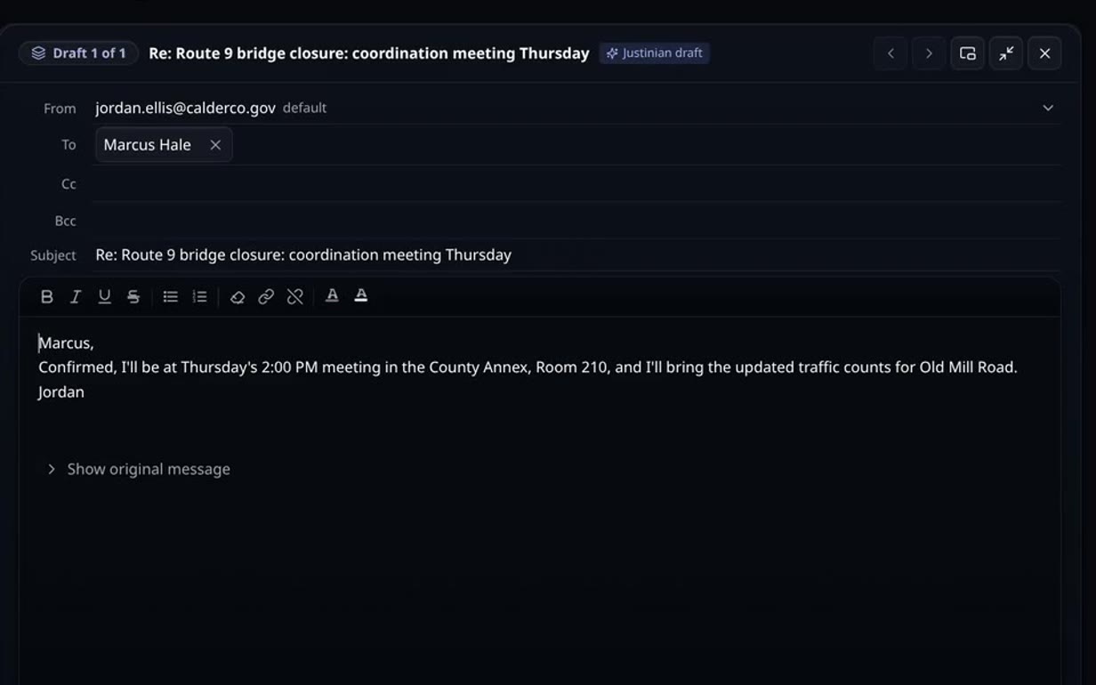
Connect your mailbox
Open the Mail tab in the workspace and choose Gmail or Outlook. Outlook connects read-only at first, and you can turn on drafting and sending from the account menu.
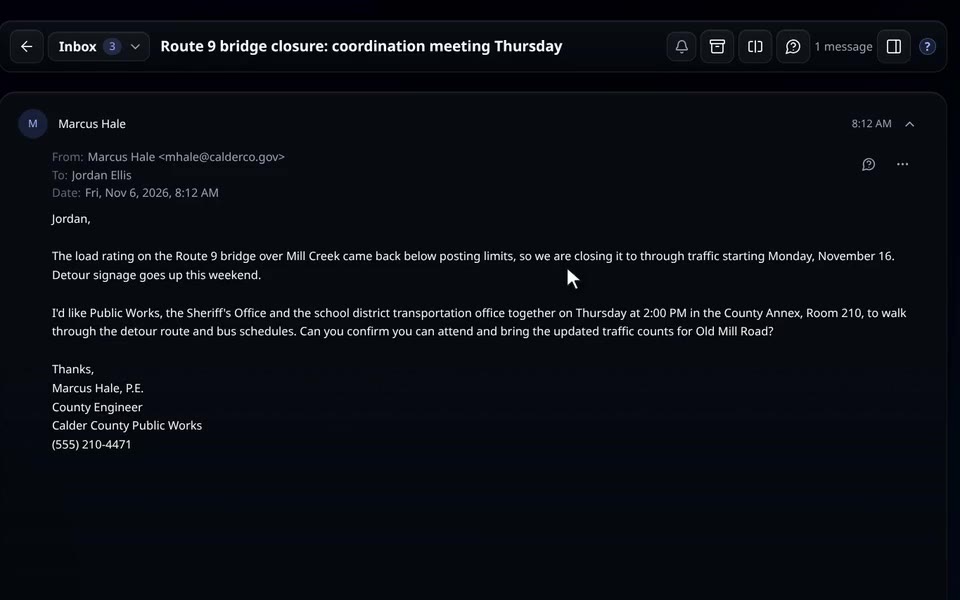
Prefer not to connect?
Forward or CC a thread to Justinian instead. Your forwarding address is in the Mail tab.
Ask about your mail
Ask “What do I still owe the grants office?” and Justinian reads the thread, then answers with what’s outstanding and when it’s due.
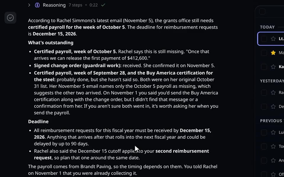
Answers from your own mail
Justinian reads the whole thread before it answers, and pulls out what is outstanding and when it is due.
Review the draft, approve the send
Justinian saves replies to your Drafts folder. When you tell it to send, an approval card appears in the chat, and nothing goes out until you press Approve.
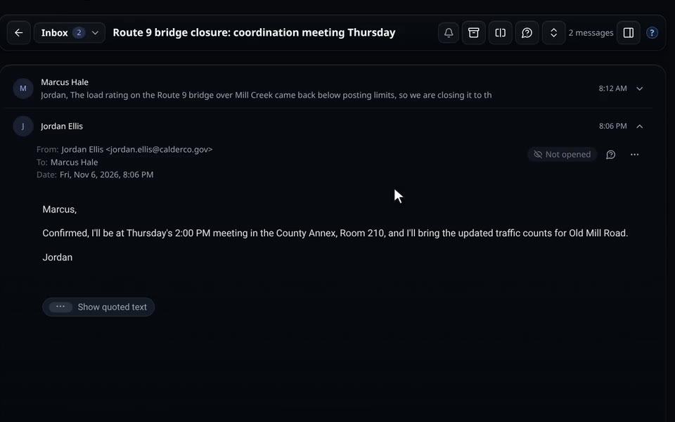
Nothing sends on its own
Every send shows an approval card in the chat, and the message goes out only after you press Approve.
Maps you can build on
Shapefiles, geodatabases, GeoPackages, KML and GeoTIFFs open as maps. Add layers, recolor them by any field and search the attribute table. Draw and measure, join a spreadsheet by a shared column, and switch to satellite imagery or 3D. Export any layer as a shapefile, geodatabase, GeoPackage, KML or Excel file, or the whole map as a PDF.
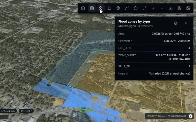
Export what you build
Save the map, or export any layer as a shapefile, geodatabase, GeoPackage, KML or Excel file.
A full CAD editor, in your browser
Draw, dimension and hatch. Move, rotate, offset, trim and array. Manage layers and model in 3D, with full undo. When you save, the same DXF is written back as a new version that opens in AutoCAD. Or describe the change you want and Justinian makes it in the drawing for you.
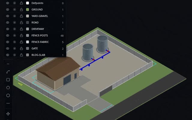
Opens in AutoCAD
Saving writes the same DXF back as a new version that opens in AutoCAD.
Ask, and Justinian does the GIS work
Which parcels sit in a flood zone? Which properties adjoin? How many acres does a field cover? Justinian runs the exact analysis on your files, gives you a counted answer, and puts the result on the map.
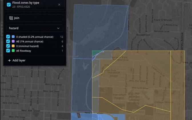
Counted answers
Each result comes back as counted rows and is added to the map you have open.
Ready to explore?
I am available now in Justinian 3.1.0. Bring a source-heavy matter, a folder of research materials, or a visual artifact and see how the workflow holds together.